Where Maps Inspire, Futures Empower
We are a capacity-building and research institute empowering communities through geospatial innovations.

What We Do
Delivering tailored GIS solutions
that make a difference in every sector.
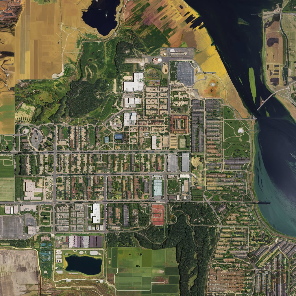
GeoEmpower Initiative delivers cutting-edge GIS solutions that drive progress and innovation. Our services range from expert mapping and analysis to tailored training programs, all designed to empower individuals and organizations to make impactful decisions and drive meaningful change.

GIS Courses
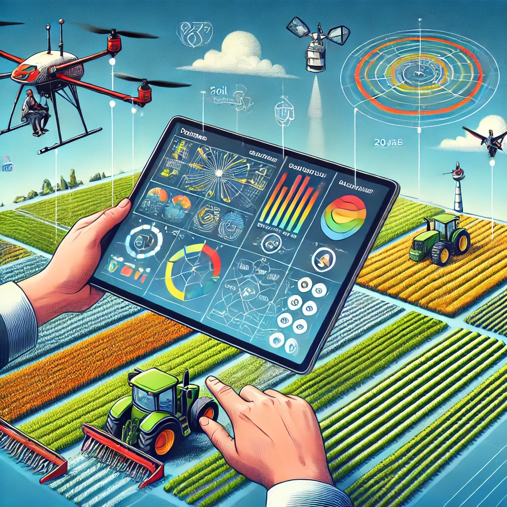
We offer tailored GIS courses, from beginner to advanced, covering key sectors like Precision Agriculture, Climate Change, Disaster Management, Crime Analysis, Public Health, and Urban Planning. Learn to harness geospatial technology for impactful, data-driven decisions across diverse industries.

Remote Sensing Courses
Master remote sensing techniques with our courses, where you'll learn to analyze spatial data for solving geological and environmental challenges. Gain expertise in using sensors to capture critical Earth data, including vegetation cover, topography, and temperature, to make informed decisions in various fields.

Data Collection & Analysis Courses
Learn to gather data using tools like ODK, KoBo Toolbox, QField for QGIS, and GIS Cloud Mobile, and master analysis with applications such as Excel, Stata, RStudio, Python, and SPSS. Gain the expertise to collect, manage, and analyze data effectively across various platforms."

Empowering the Next Generation
Shaping Future Leaders in Geospatial Technology
At GeoEmpower Initiative, we are dedicated to empowering students and young professionals, especially young girls, with the skills to use geospatial tools. Through affordable or free training programs, we provide the next generation with the knowledge and confidence to lead in the geospatial field, fostering a future where technology and talent know no boundaries